Geospatial intelligence · Thailand
See the planet.
Decide with confidence.
GeoVeritas turns satellite imagery, climate data and ground truth into clear answers for land, water and climate decisions.
INSIGHT·INTEGRITY·IMPACT

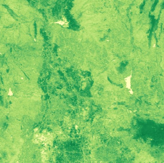
LAYER 01Vegetation index
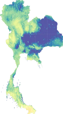
LAYER 02Daily water use
What we do
Intelligence from orbit, built for decisions on the ground.
 01Environmental monitoringForests, mangroves, wetlands and land change — tracked over time, validated in the field.
 02Climate analyticsFlood, drought and heat risk you can plan around.
 03Urban & land useGrowth scenarios and site suitability.
 04RS/GIS trainingHands-on, in Thai or English.
 05Data platformsDashboards that keep themselves current.
From satellite to daily insight
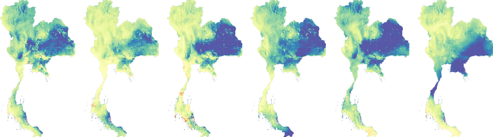
Every day, a new picture of how the land is using water.
Daily evapotranspiration across Thailand at 500 m — the kind of living map we build for water and crop planning.
01 — INSIGHTQuestion firstWe start from your decision, not the data.
02 — INTEGRITYTransparentSources, methods and accuracy on every map.
03 — IMPACTYours to keepData, code and training handed over.
Selected work
Recent projects
 REMOTE SENSING · CLIMATE · 2026Satellite crop-water monitoring, Central ThailandDaily evapotranspiration and vegetation indices from MODIS and ERA5.
 CLIMATE ANALYTICS · DATA VISUALISATIONThailand's temperature & precipitation, 1973–2023Fifty years of climate data in one map of where heat and dryness meet.